PROJECT: Middle Castor River Bathymetric Survey
CLIENT: South Nation Conservation Authority
NUMBER OF YEARS DEALING WITH CLIENT: +/- 2 years
DESCRIPTION OF PROJECT:
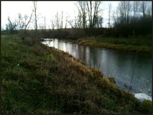
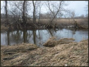
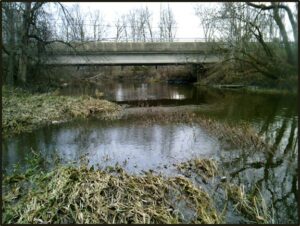
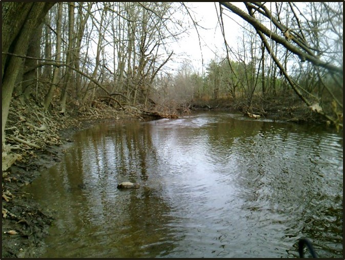
- Water’s Edge was authorized by South Nation Conservation (SNC) to complete an 18km bathymetric survey of the Middle Castor River near Metcalfe, ON.
- Sub-centimetre, survey-grade Sokkia GRX1, Trimble R10, and a Nikon DTM-350 Total Station were used for all survey data collection.
- The GPS systems used are based on RTK on the TOP-NET network.
- Cross-sections were surveyed every 50m along the channel with an additional cross-section upstream and downstream of each bridge.
- Processing of the bathymetry was done using a combination of ArcGIS and AutoCAD Civil3D.
- The original clipped image and the newly interpolated bathymetric survey were then merged into a single Tiff image.
SERVICES PROVIDED:
- Bathymetric Survey,
- AutoCAD Civil 3D,
- GIS
DATE OF PROJECT: Fall 2017