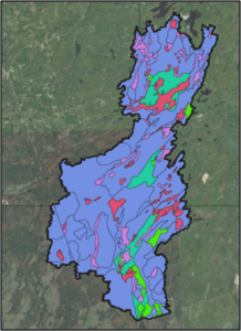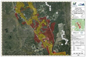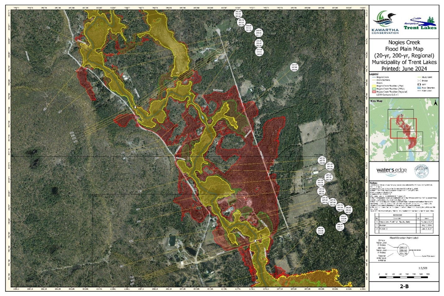
PROJECT: Nogies Creek Floodplain Mapping Project
CLIENT: Kawartha Conservation
NUMBER OF YEARS DEALING WITH CLIENT: +/- 1 years
DESCRIPTION OF PROJECT:
- Water’s Edge was authorized by Kawartha Conservation (KC) to provide technical and engineering services to a new floodplain mapping of Nogies Creek.
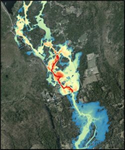
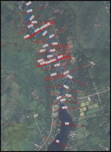
- Water’s Edge staff collected LiDAR data and processed the data for hydraulic modeling and mapping uses.
- A hydrologic model was built for Nogies Creek watershed using HEC HMS.
- A HEC-RAS model was produced to determine the water surface elevations for the various design storms.
- Floodplain maps were then produced using the HEC-RAS results according to Provincial and Federal standards.
SERVICES PROVIDED: HEC-HMS and HEC-RAS Modeling for Floodplain Mapping
DATE OF PROJECT: 2023-ongoing