PROJECT: County of Haliburton Bathymetry Survey
CLIENT: County of Haliburton
DESCRIPTION OF PROJECT:
- Water’s Edge was authorized by the Ganaraska Region Conservation Authority (GRCA) on behalf of the County of Haliburton to complete 55 km of bathymetric survey.
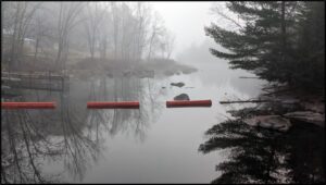
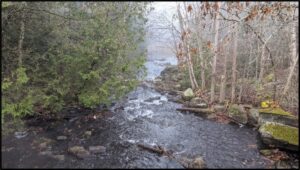
- The surveys were completed on the Gull, Burnt and Irondale Rivers in the County of Haliburton.
- Bathymetric data was acquired for use in riverine hydraulic modelling to produce floodplain mapping.
- Data was collected with Sub-centimetre, survey-grade Sokkia GRX3 and Cee Echo sounder mounted on a small boat.
SERVICES PROVIDED: Bathymetric Survey
DATE OF PROJECT: 2021


