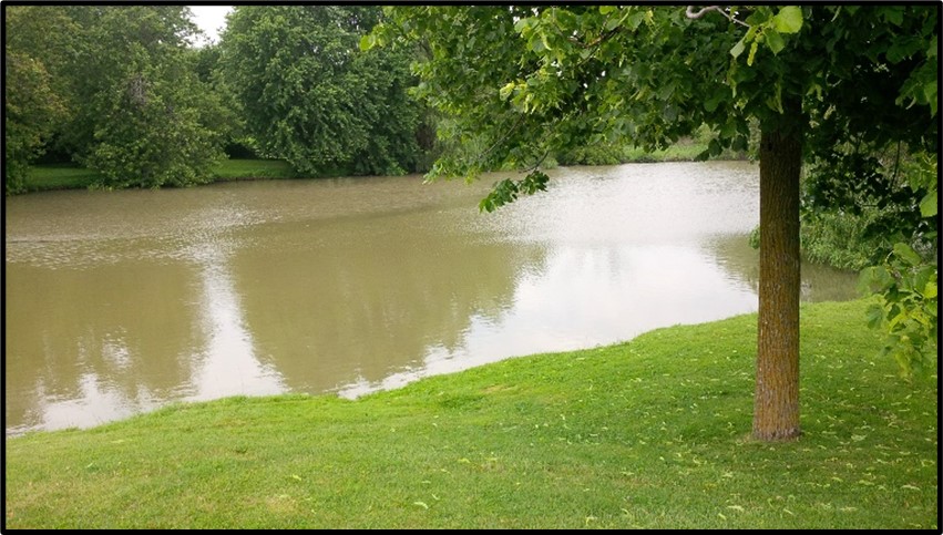
Wellesley Pond Enhancement
Water’s Edge was authorized by the Township of Wellesley to characterize Wellesley Pond, complete conceptual plans, and detailed design plans for pond enhancement.
Wellesley Pond Enhancement Read More »
Water’s Edge was authorized by the Township of Wellesley to characterize Wellesley Pond, complete conceptual plans, and detailed design plans for pond enhancement.
Wellesley Pond Enhancement Read More »
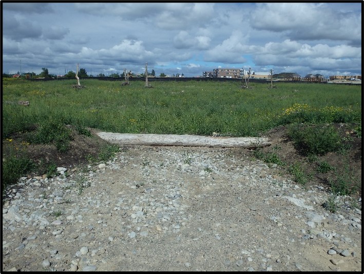
Water’s Edge was authorized by Landscape Planning Limited (LPL) to complete a wetland design to compensate for the removal of natural wetlands in the area due to development. The designed wetland will capture and control drainage from the McCandless Park site located at the southeast corner of Mississauga Road and Bovaird Drive in Brampton, Ontario.
Andrew McCandless Park Wetland Design Read More »
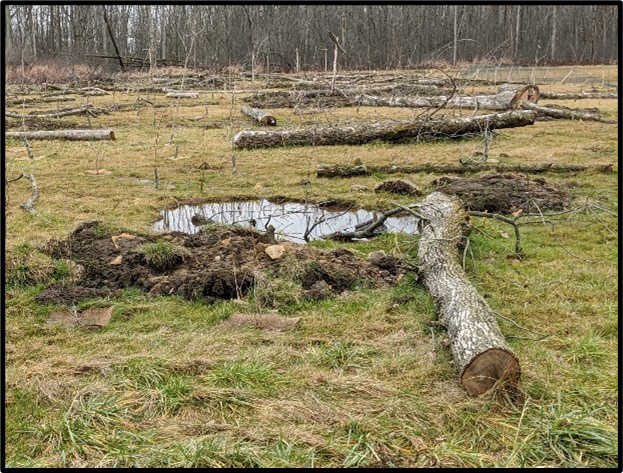
Water’s Edge was authorized by Conservation Halton to complete a wetland design to restore an underutilized and abandoned City of Hamilton recreational park due to the seasonal highwater table.
Flamborough Centre Park Wetland Read More »
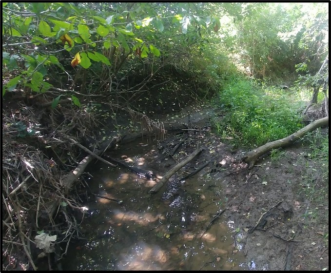
Water’s Edge team was engaged by the Hamilton Conservation Area (HCA) to complete necessary studies and prepare a Preliminary Design for the SC-8 water retention facility, wetland and creek restoration within the Upper Battlefield Creek watershed.
Saltfleet Conservation Area Wetland Design (SC-8) Read More »
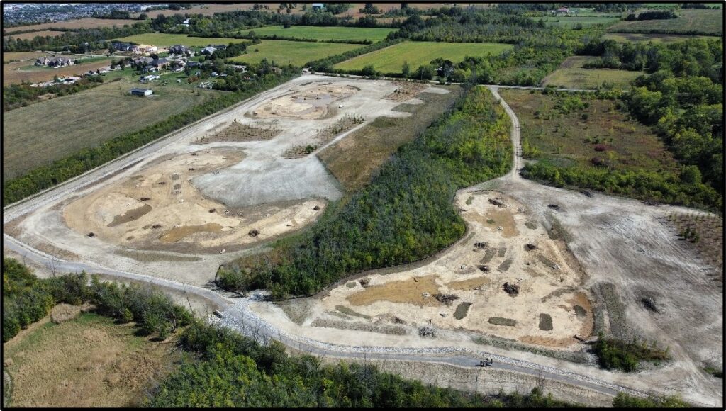
Water’s Edge, with a team of sub-consultants (natural heritage, geotechnical, hydrogeological, and archaeology) completed a background review, field and desktop investigations, preliminary and final designs, and reports.
Saltfleet Conservation Area Wetland Design (BC-1 and SC-5) Read More »
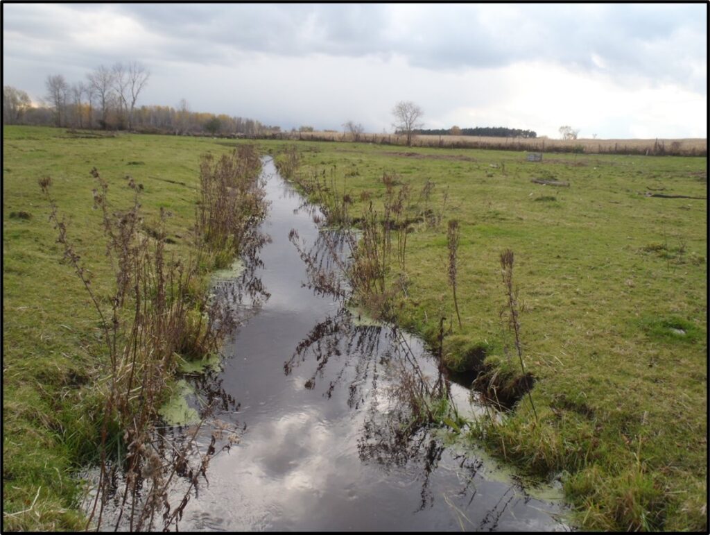
Water’s Edge, in conjunction with Azimuth Environmental, was retained by the Lake Simcoe Region Conservation Authority (LSRCA) to complete the Hydro-Geomorphic Assessment and Channel Survey for the Ravenshoe Road Wetland Complex and the Maskinonge River Project.
Ravenshoe Wetland Complex and Maskinonge River Study Read More »
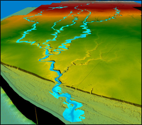
Water’s Edge was authorized by Saugeen Valley Conservation Authority (SVCA) to provide technical and engineering services for first ever floodplain mapping of the Pine River and several lakeshore creeks.
Township of Huron-Kinloss Floodplain Mapping Project Read More »
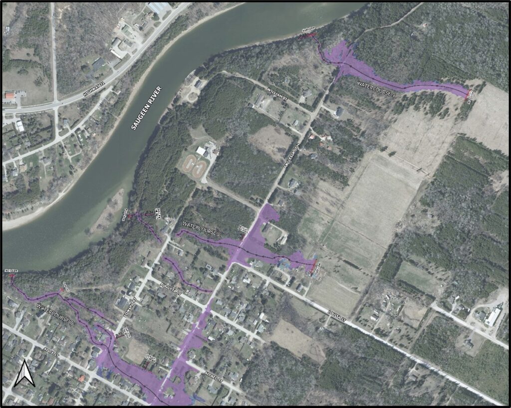
Water’s Edge was authorized by Saugeen Valley Conservation Authority (SVCA) to provide technical and engineering services to a new floodplain mapping of several lakeshore creeks.
Town of Saugeen Shores Floodplain Mapping Project Read More »
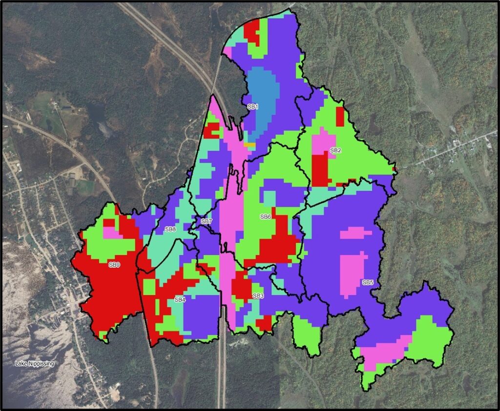
Water’s Edge was authorized by North Bay-Mattawa Conservation Authority (NBMCA to provide technical and engineering services to a new floodplain mapping of Lansdowne Creek and its tributaries.
Lansdowne Creek Floodplain Mapping Project Read More »
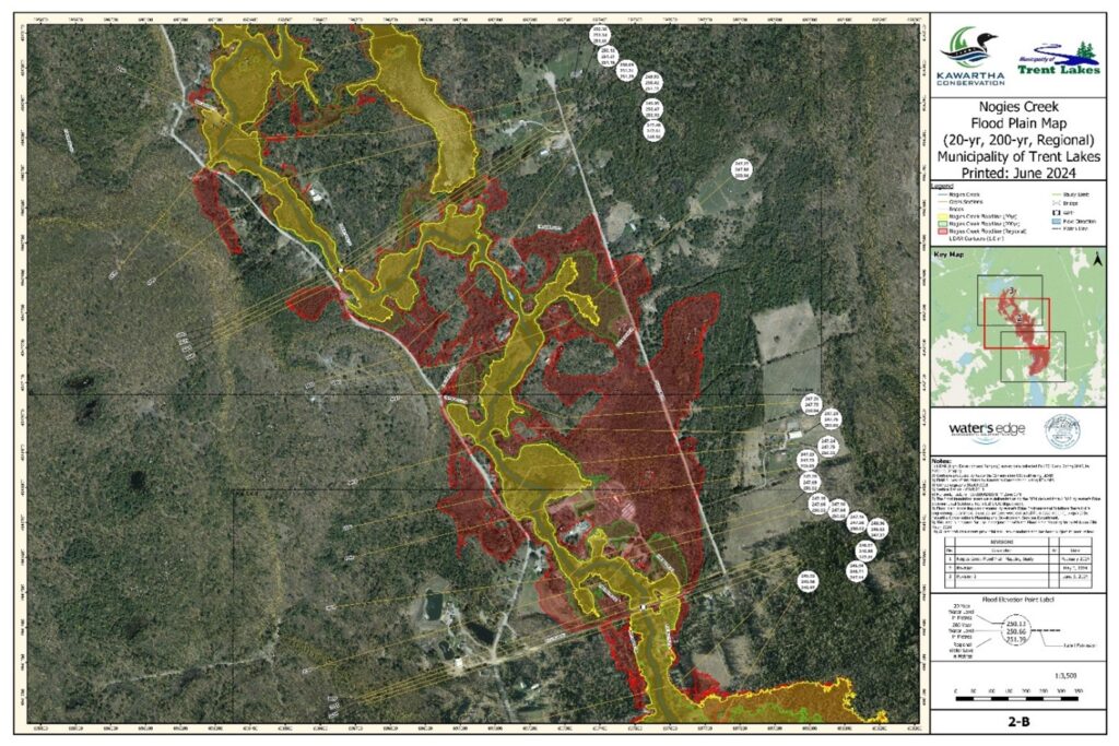
Water’s Edge was authorized by Kawartha Conservation (KC) to provide technical and engineering services to a new floodplain mapping of Nogies Creek.
Nogies Creek Floodplain Mapping Project Read More »